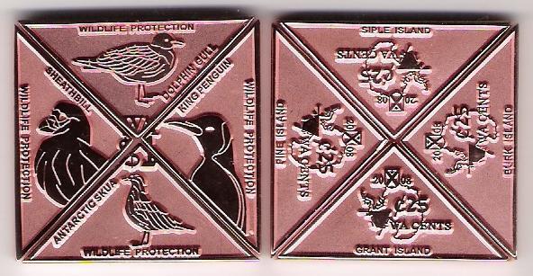
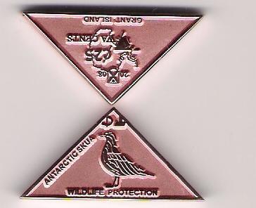
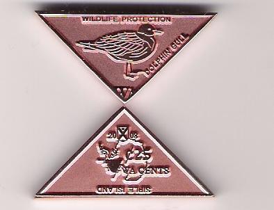
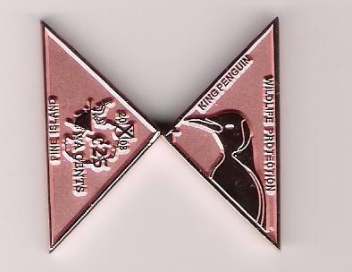
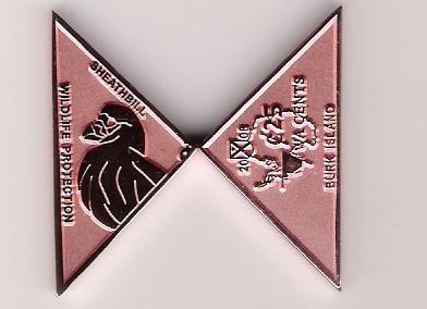
This is a rectangular coin from the islands of Grant, Siple, Pine and Burk.
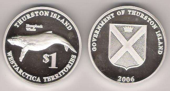
- Grant Island is an ice-covered island, 20 miles long and 10 miles wide, lying 5 miles east of the smaller Shepard Island off the coast of Marie Byrd Land, Antarctica. Grant Island is located at 74°28′S, 131°35′W. Grant Island was discovered by personnel on the USS Glacier on February 4, 1962. This island is part of the Westarctican Territories.
- Siple Island is a 110 km long snow-covered island lying east of Wrigley Gulf along the Getz Ice Shelf off Bakutis Coast of Marie Byrd Land, Antarctica. Its centre is located at 73°39′S, 125°12′W. Its area is 6,390 km² and it is dominated by the dormant shield volcano Mount Siple, rising to 3,110 m - making this the 17th ranking island in the world by maximum altitude. This island is part of the Westarctican Territories.
- Pine Island (75°10′S, 100°0′W) is a broad glacier flowing west-northwest along the south side of the Hudson Mountains into Pine Island Bay, Amundsen Sea, Antarctica. It was discovered in December 1946. This island is part of the Westarctican Territories.
- Burk Island (aka Burke Island) is an ice-covered island about 16 miles long and 6 miles wide, lying 37 miles southwest of Cape Waite, King Peninsula, in the Amundsen Sea, Antarctica. Burk Island is located at 73.13° S 105.1° W. It was discovered in January 1960. This island is part of the Westarctican Territories
")
")